By Sadia Ghazenfer (Pakistan)
Parasitie discases, caused by organisms like protozoa, helminths, and ecto-parasites, pose significant threats to global public health. These diseases thrive in areas with inadequate sanitation, limited access to clean water, and poor socioeconomic conditions.
Examples include malaria, schistosomiasis, lymphatic filariasis, and soil-transmitted helminthiasis, impacting millions, especially in developing countries. The life cycles of these parasites are intricately linked to environmental factors, making their prevalence sensitive to geographical and climatic conditions.
Transmission dynamics are influenced by temperature, humidity, and the presence of suitable vectors or intermediate hosts. Mapping and spatial analysis play a crucial role in understanding the epidemiology of parasitic diseases, helping identify high-risk areas and informing targeted interventions.
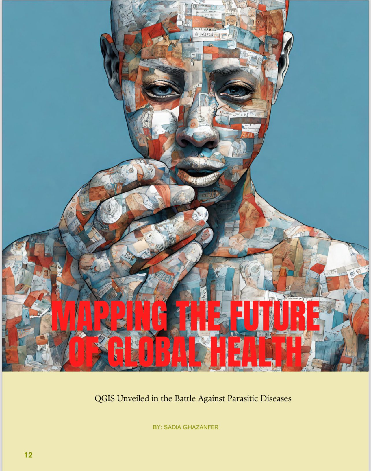
Despite healthcare advances, parasitic diseases disproportionately affect marginalized communities, hindering socio-economic development perpetuating poverty cycles. Addressing these challenges necessitates a multidisciplinary approach that integrates technologies like QGIS mapping to create a nuanced understanding of the spatial distribution of parasitic
The evolution of QGIS in health mapping signifies a transformative journey in public health. Originally emerging as a versatile open-source geographic information system (GIS), QGIS has rapidly gained prominence for its adaptability and user-friendly interface. In the realm of health mapping, OGIS has evolved from a basic spatial visualization tool to a sophisticated platform empowering researchers and healthcare professionals. Over time, QGIS has incorporated advanced functionalities, enabling intricate spatial analyses, real-time data integration, and the development of dynamic, interactive maps. Its accessibility collaborative features have fostered a community-driven health mapping, facilitating data sharing and collective problem-solving. As the software continues to evolve, its impact on health mapping becomes increasingly profound, offering new possibilities for precision medicine, disease surveillance, and targeted interventions
Spatial analysis for disease hotspots and temporal trends, coupled with predictive modeling, offers a dynamic approach to understanding and alleviating parasitic diseases through QGIS mapping techniques. Imagine it as a powerful tool that helps health professionals not only identify but practically zoom in on concentrated regions of parasitic diseases, like shining a spotlight on areas that need urgent attention. By layering various spatial details like environmental and demographic data-QGIS unravels complex relationships contributing to disease clustering, allowing for precise targeted interventions and resource allocation. It’s like having a detective’s magnifying glass for public health.
Now, let’s talk about temporal trends analysis. This is where QGIS becomes a time-traveler of sorts for researchers, delving into the evolution of disease patterns over time. It integrates time-series data to identify seasonal variations, emerging trends, and long-term patterns in parasitic disease incidence. Understanding these temporal dynamics is like having a crystal ball for developing effective public health strategies-anticipating when and where the next challenge might arise.
And then, enter predictive modeling with QGIS. Think of it as your health guardian angel. By combining historical data and environmental variables, predictive models forecast disease outbreaks and identify potential future proactive approach empowers health authorities to implement preventive measures and strategically allocate resources, almost like stopping a potential storm before it hits. It’s not just about real-time vigilance. QGIS becomes the watchtower, providing instant insights into disease dynamics. Through continuous data integration and analysis, it enables health professionals to detect emerging hotspots and respond swiftly to potential outbreaks. It’s like having a superhero’s radar that ensures timely interventions, preventing the escalation of parasitic diseases in vulnerable populations.
Community engagement becomes the hero in the battle against parasitic diseases, thanks to innovative mapping initiatives driven by QGIS. Imagine a world where communities actively participate in disease surveillance, empowered by the geospatial magic of QGIS. It’s more than just maps; it’s about visualizing the spatial distribution of parasitic diseases, turning community members into essential contributors to the surveillance
This collaboration not only boosts data accuracy but also nurtures a sense of ownership and responsibility within the community.
Now, picture QGIS as a vigilant sentinel through real-time monitoring. It provides health authorities with swift tools to identify and respond to
disease threats.
Simultaneously, community engagement
initiatives empower individuals to actively contribute, creating a symbiotic that strengthens the overall effectiveness of
surveillance. As QGIS evolves, its role in precision surveillance is set to expand, enhancing our ability to monitor, analyze, and engage communities in the ongoing fight against parasitic diseases.
Enter targeted interventions—a strategic dance in parasitic disease management. Imagine QGIS as the conductor orchestrating resource allocation. By visually mapping disease prevalence and identifying hotspots, health authorities strategically deploy resources where they make the most significant difference. It’s like a choreographed performance optimizing the impact of interventions, ensuring limited resources hit the right notes.
Case studies unfold as success stories, revealing the practical application of QGIS mapping in reducing parasitic disease burdens. These stories become benchmarks, showcasing the adaptability of QGIS in diverse contexts. They’re not just tales; they’re inspirations for future initiatives, painting a picture of the tangible impact QGIS can have on public health.
Yet, challenges loom, and QGIS is the brave explorer navigating them.
Data privacy and ethical considerations are the compass guiding this journey, ensuring sensitive health information is protected. Technological barriers may try to obstruct, but OGIs stands restlient, requiring a concerted effort in capacity building and fostering ethical practices for the responsible use of geospatial data in public health.
As we gaze into the future, the excitement of advancements in mapping technologies unfolds. QGIS and its companions continuously innovate, enhancing precision for even more accurate spatial analyses. Global collaborative initiatives amplify the impact of QGIS mapping, fostering a shared front against parasitic diseases that transcends geographical boundaries. It’s not just technology; it’s a collective effort, a symphony of collaboration, and QGIS is the conductor leading us towards a healthier, more unified world.
Sadia Ghazanfer is from Pakistan currently a Research Fellow/Ph.D. Scholar. Department of Parasitology, University of Agriculture, Faisalabad. Author can be reached at sadiaghazanfar90@gmail.com


