News Desk: In a major stride toward technological self-reliance and national development, Pakistan is set to launch its latest remote sensing satellite for high-resolution geospatial mapping, with a special focus on key projects under the China-Pakistan Economic Corridor (CPEC).
The satellite, part of the Pakistan Remote Sensing Satellite (PRSS) series, will be launched from China’s Xichang Satellite Launch Center (XSLC) on July 31, 2025, in collaboration with the China National Space Administration (CNSA).
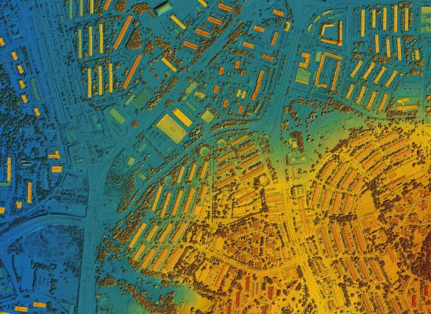
Developed by the Pakistan Space and Upper Atmosphere Research Commission (SUPARCO), the state-of-the-art satellite is equipped with cutting-edge imaging and sensing technologies. It will enhance Pakistan’s capacity in urban planning, environmental monitoring, precision agriculture, disaster risk reduction, and strategic infrastructure development.
Focus on National Priorities
The satellite will play a critical role in supporting national and regional initiatives, particularly the multi-billion-dollar CPEC infrastructure network. With the ability to capture high-resolution imagery and real-time data, it will assist planners in monitoring construction progress, assessing environmental impacts, and managing resources more effectively.
Its sensors will also bolster early warning systems for natural disasters such as floods, earthquakes, landslides, and glacier melt, helping mitigate the effects of climate change across vulnerable regions.
Part of a Growing Space Fleet
This launch follows the successful deployment of PRSS-1 in 2018 and the Electro-Optical Satellite EO-1, which was Pakistan’s first indigenously developed Earth observation satellite, launched in January 2025. The new PRSS satellite adds to this growing constellation, further strengthening Pakistan’s Earth observation and space-based data infrastructure.
SUPARCO stated that the initiative is aligned with Pakistan’s National Space Policy and Vision 2047, a long-term roadmap for transforming the country into a technologically advanced, spacefaring nation.
A Decade of Milestones
Pakistan’s renewed space journey began in 2011 with the launch of PakSat-1R, a communications satellite built with Chinese assistance. In 2018, PakTES-1A and PRSS-1 marked the next leap in Earth observation.
In 2024, PakSat-MM1 brought broadband access to remote regions, while iCube-Qamar, a student-led satellite project from the Institute of Space Technology (IST), captured stunning images of the Moon — inspiring a new generation of scientists and space engineers.
The January 2025 launch of EO-1, designed entirely by Pakistani experts, was seen as a landmark in indigenous space capability.
With the July 31 launch of its latest PRSS satellite, Pakistan moves a step closer to leveraging space science for national resilience, sustainable development, and international scientific collaboration — proving that the sky is no longer the limit.